 ThingsToDo
A free-entry half-day beside the Wensum
Architecture and a short riverside walk, with no compulsory attraction admission. Food, travel and voluntary donations are separate. All time allowances are editorial estimates.
Outdoors / NORWICH
The Wensum gives Norwich a different outline from its busy shopping streets. Choose a short section around Pull’s Ferry, Bishop Bridge and Cow Tower, using the council’s landmark map to understand what you pass. This is a flexible walk with historic views; it does not include entry to every building beside the river.

STAY NEARBY
Find hotels and holiday rentals near River Wensum riverside walk. Choose dates on the live map to check availability.
Affiliate link · We may earn a commission if you book.
Loading the Stay22 map allows its third-party cookies for analytics and booking attribution. Privacy details.
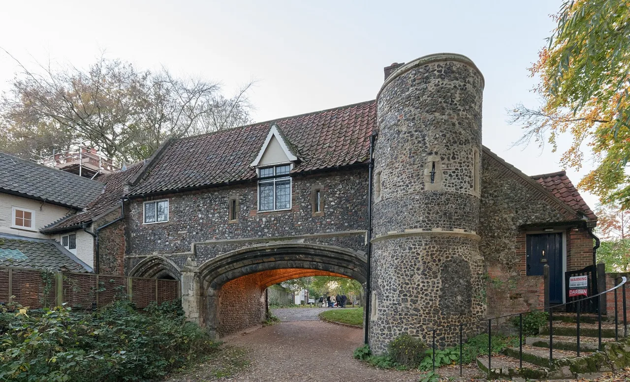
Pick your turnaround before starting and check route notices. A short out-and-back is easier to adapt than committing to the whole mapped riverside walk.
Practical information checked 14 September 2026. Confirm anything essential to your visit with the venue.
Allow 45-90 minutes for the visit, plus travel and breaks. This is a suggested planning allowance; opening times, access and availability may affect your plans.
HELP IMPROVE THIS GUIDE
Tell us what helped, what is missing or what needs correcting. Your feedback goes to the editor.