 ThingsToDo
Woodland routes beyond the bike trails / NEAR PEEBLES
Glentress Forest walks
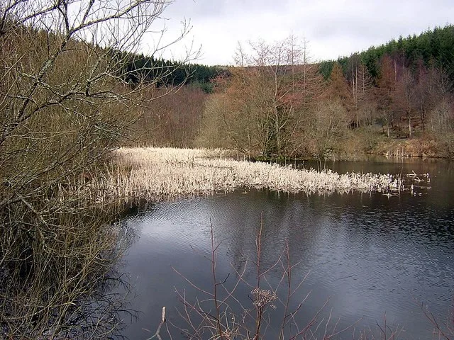
Choose Glentress for a forest outing with marked walking options as well as its better-known mountain biking. A lower route around the ponds can suit a shorter visit, while longer trails need a separate block of time. Use the walking map and keep clear of dedicated bike lines rather than following whichever track looks most inviting.

STAY NEARBY
Make a weekend of it
Find hotels and holiday rentals near Glentress Forest walks. Choose dates on the live map to check availability.
Affiliate link · We may earn a commission if you book.
Loading the Stay22 map allows its third-party cookies for analytics and booking attribution. Privacy details.
Start from the current Gateway arrangements and check the route map. Some high-level walks quoted from Buzzard’s Nest need several extra hours when approached from the lower starting point.
The practical details
- Where to find it
- Glentress Forest, east of Peebles
Directions and arrival information - Tickets and booking
- Ordinary forest walking does not require an attraction ticket, but parking is charged and other activities are paid. Check current alerts before travel; some bike trails currently have closures and diversions. Follow signs and avoid work areas.
- Access and getting around
- The multi-user path has firm gravel, slopes and a road crossing; the ponds route includes ramps and some loose stones. Choose a route suited to your mobility and equipment. Longer trails are steeper or uneven, and forestry works can change access.
Official access information - Visiting with children
- Keep children close at shared paths, road crossings and ponds. A short marked walking route can be a better starting point than a strenuous circuit. Bike hire, coaching and treetop activities have separate costs and conditions.
Practical information checked 16 September 2026. Confirm anything essential to your visit with the venue.
Make it part of your day
Allow 1.5-3 hours for a shorter forest outing for the visit, plus travel and breaks. This is a suggested planning allowance; opening times, access and availability may affect your plans.
Explore the Peebles guideHELP IMPROVE THIS GUIDE
Was this useful?
Tell us what helped, what is missing or what needs correcting. Your feedback goes to the editor.